MANILA, Philippines – ‘Bagyong Gardo’ meanders over the Philippine Sea and now moving north northeastward, state weather bureau PAGASA announced in its 5:00 am update on Wednesday, August 31, 2022.
At 4:00 am today, the center of Tropical Depression ‘Gardo’ was estimated based on all available data at 1,130 km East of Extreme Northern Luzon.
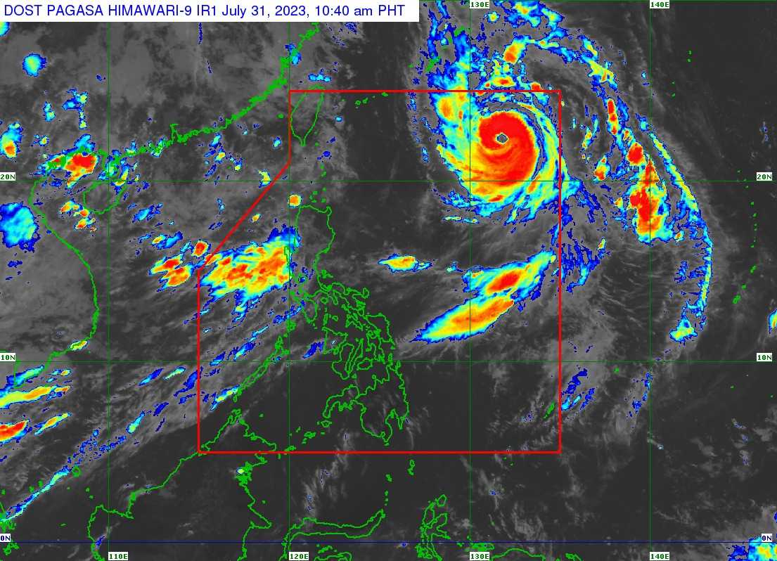
|
| Tropical Depression ‘Gardo’ as of 5:00 am, August 31, 2022. |
‘Gardo’ has maximum sustained winds of 55 km/h near the center, gustiness of up to 70 km/h, and central pressure of 1000 hPa. It is moving north northeastward at 10 km/h.
SEE ALSO: Super Typhoon ‘Hinnamnor’ PAGASA weather update
TRACK AND INTENSITY OUTLOOK
‘Bagyong Gardo’ is forecast to move generally northward or north northwestward throughout the forecast period as it interacts with Super Typhoon ‘Hinanamnor’ outside the PAR.

‘Gardo’ will degenerate into a remnant low this afternoon or evening as ‘Hinanamnor’ begins to assimilate its circulation.
HAZARDS AFFECTING LAND AREAS
‘Gardo’ is unlikely to directly affect the weather condition in the country within the forecast period.
HAZARDS AFFECTING COASTAL WATERS
The tropical depression is unlikely to directly affect the sea conditions over the coastal waters of the country.
TROPICAL CYCLONES
‘Gardo’ is the Philippines’ seventh tropical cyclone for 2022.
On average, there are 20 tropical cyclones that could form or enter the Philippine Area of Responsibility each year. Only half of those are projected to make landfall.
— The Summit Express